
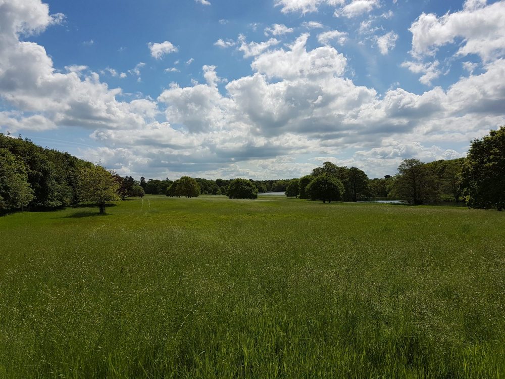
Biodiversity net gain assessment in Cheshire
Collington Winter Environmental delivers professional biodiversity net gain assessment services across Cheshire. Operating from our practice in Bolton, our team of chartered ecologists, directed by Olivia Collington CEnv, works throughout England to provide rigorous, planning-compliant ecological surveys and metric calculations. A biodiversity net gain assessment is not a generic ecology overview; it is a specialised, quantitative evaluation of a development site's baseline biodiversity value, set against proposed design plans using the statutory biodiversity metric. For developers, planning consultants, architects, and land agents operating in Cheshire, securing an early and methodologically sound assessment is fundamental to avoiding validation delays and ensuring development feasibility.
Whether you are bringing forward an urban regeneration scheme in Chester, strategic residential expansion around Crewe or Macclesfield, or commercial logistics along key transport corridors, your proposals must satisfy statutory requirements under the Environment Act 2021. Navigating these requirements demands experienced BNG consultants in Cheshire who understand the geographical variation, landscape character, and validation expectations of local planning authorities. To explore the wider legislative triggers for survey work, our guide to BNG assessments outlines when formal evaluations must be prepared. To discuss your project directly with our chartered ecology team, you can contact us to establish your baseline assessment needs.
Statutory BNG thresholds and planning requirements
Mandatory biodiversity net gain operates under clear statutory timetables. The requirement became legally enforceable for major development proposals on 12 February 2024, followed by small sites on 2 April 2024. For planning purposes, major development includes residential schemes of ten or more dwellings or sites of 0.5 hectares or greater where dwelling numbers are unspecified, as well as commercial schemes with a floorspace of 1,000 square metres or an overall site area of one hectare or more. Small sites encompass residential schemes between one and nine dwellings on sites under one hectare, or commercial floorspace under 1,000 square metres on sites smaller than one hectare.
Unless a proposal meets narrow statutory exemptions, every planning application must demonstrate a minimum of 10% measurable net gain over the pre-development baseline. Certain small-scale proposals may qualify for exemptions, such as householder applications or developments affecting an area below the de minimis threshold of less than 25 square metres of non-priority habitat or five linear metres of hedgerow. However, exemptions cannot simply be asserted without evidence. Planning applications submitted to Cheshire authorities must include clear documentation setting out whether BNG applies and, where exemptions are claimed, setting out the factual grounds using defensible survey data.
Achieving compliance requires the use of the statutory biodiversity metric published by the Department for Environment, Food and Rural Affairs (Defra). This calculation tool establishes the baseline unit value of the site across three distinct categories: habitat units (area-based habitats), hedgerow units (linear woody features), and watercourse units (rivers, streams, and qualifying ditches). The 10% minimum gain must be achieved across each relevant unit type present on site; a surplus in hedgerow units cannot compensate for a deficit in area habitat units. Furthermore, any created or enhanced habitats relied upon to deliver the net gain must be secured through legal agreements and funded for a minimum 30-year management and monitoring period.
Planning authorities across the Cheshire landscape
Navigating planning submissions requires alignment with the appropriate administrative body and local validation list. Cheshire is divided among several distinct planning authorities, each with specific validation requirements and ecological priorities.
Cheshire East Council oversees an expansive unitary area that includes Crewe, Macclesfield, Congleton, Wilmslow, and Knutsford. Cheshire West and Chester Council covers the western side of the county, administering historic Chester, Ellesmere Port, Northwich, and Winsford. Warrington Borough Council operates as a distinct unitary authority to the north, forming an integral part of the sub-regional Cheshire and Warrington nature recovery framework. Additionally, where proposals sit on the eastern upland fringes of Cheshire East, planning jurisdiction may fall under the Peak District National Park Authority. Applicants must never rely on historic postal counties or general geographical references; the precise local planning authority boundary determines the statutory validation rules and policy context.
Each authority enforces validation checklists that require specific baseline ecological evidence to accompany planning applications. A standard submission must include the completed statutory biodiversity metric calculation tool in its native Excel format, an accompanying BNG assessment report authored by a competent ecologist, baseline habitat plans mapped according to the UK Habitat Classification (UKHab) system, and post-development landscape design plans showing proposed habitat retention, enhancement, and creation. Discrepancies between landscape drawings, drainage strategies, and the metric inputs represent one of the most frequent causes of planning deferrals across Cheshire authorities.
Baseline habitat survey and metric calculations
An accurate BNG assessment begins with a rigorous baseline habitat survey. Conducted during appropriate seasonal windows, our ecologists classify every parcel of land within the red-line boundary using the UKHab system. UKHab categorises land parcels down to distinct secondary codes, accounting for management regimes, hydrological features, and vegetation structure.
Alongside habitat type, the ecologist must assign a condition score to each parcel, following the statutory condition assessment sheets published by Natural England. Condition scores range from Poor to Moderate or Good, based on specific criteria such as native species composition, structural diversity, invasive non-native species presence, and visible signs of disturbance. The condition assessment is a vital technical step; over-scoring a baseline habitat will artificially inflate the baseline units, making the 10% gain target significantly more difficult and expensive to achieve on site. Conversely, under-scoring runs the risk of challenge by council ecology officers, leading to delays and mandatory recalculations.
Linear features must be assessed separately. The metric treats hedgerows, lines of trees, and watercourses as discrete units. In agricultural Cheshire, hedgerows frequently provide essential ecological networks connecting isolated woodlands and waterbodies. Calculating linear hedgerow baseline units requires measuring length, identifying woody species diversity, determining average width and height, and assessing gaps or structural defects.
Once baseline data are finalised, post-development design proposals are incorporated into the calculation. The metric applies built-in risk multipliers that account for the difficulty of habitat creation, the time taken for newly planted habitats to reach target condition, and spatial distance from the impact site. This mathematical framework means that replacing complex, mature habitats with newly created alternatives carries a heavy unit penalty, placing a premium on intelligent, retention-led design.
Cheshire landscapes, river corridors and ecological sensitivities
The Cheshire landscape possesses distinct ecological characteristics that directly influence metric calculations and habitat strategy. The core of the county is dominated by the Cheshire Plain, a low-lying agricultural landscape underlain by glacial drift deposits. This landscape is defined by extensive pastoral farming, dense hedgerow networks, and thousands of historical marl pits that have evolved into valuable field ponds.
Water environments play a significant role in local ecological assessments. Major river networks, including the River Weaver, River Dane, and River Gowy, flow across the county, acting as vital wildlife corridors between rural catchments and urban centres. Where a development site borders or contains a river, stream, or qualifying canalised section, a watercourse baseline assessment must be completed. This involves assessing the riparian zone and channel condition using the appropriate river condition assessment methodology, generating watercourse units that must achieve their own independent 10% gain.
Cheshire is internationally recognised for its wetland heritage, particularly the Midland Meres and Mosses Ramsar sites. These nutrient-rich open water bodies (meres) and associated peat bog systems (mosses) support scarce invertebrate assemblages and wetland flora. Water quality, surface run-off, and hydrological changes linked to nearby developments require careful ecological appraisal. Sites such as Tatton Mere Site of Special Scientific Interest (SSSI) highlight that parkland and open water bodies often support fragile, high-distinctiveness habitats that cannot simply be treated as standard amenity open space in a calculation spreadsheet.
To the west and south, the Cheshire Sandstone Ridge rises above the plain, providing pockets of acid grassland, heathland, and semi-natural broadleaved woodland. When preparing a BNG assessment on or near these distinctive geological areas, our ecologists evaluate how on-site habitat proposals can align with local priority habitats identified within emerging Local Nature Recovery Strategies (LNRS). Aligning proposed habitats with local strategic priorities is rewarded within the metric through the strategic significance multiplier, which boosts the unit yield of appropriately located habitat creation.
It is important to remember that statutory BNG does not replace or supersede existing ecological protections. Sites supporting protected species, such as great crested newts in Cheshire's pond networks, roosting bats in agricultural buildings, or water voles along riverbanks, continue to require full protected species surveys and mitigation licences where applicable. Furthermore, irreplaceable habitats, such as ancient woodland or veteran trees, sit outside the standard 10% metric calculation and are governed by strict statutory rules that prevent direct offsetting through metric calculations.
On-site design, mitigation hierarchy and off-site solutions
Achieving 10% net gain requires adhering strictly to the ecological mitigation hierarchy: avoid harm first, minimise unavoidable impacts, restore habitats on site, and only consider off-site options as a secondary mechanism.
The most cost-effective and design-efficient approach is to retain high-value baseline habitats from the outset. In Cheshire developments, this often involves preserving species-rich hedgerows, mature boundary trees, and historical field ponds within landscape buffers and public open space. Retaining these assets avoids the severe metric penalties associated with habitat destruction and minimizes the total number of newly created units required to hit the 10% uplift.
Where on-site land is available, landscape schemes can be designed to deliver functional, high-scoring habitats. Rather than relying entirely on amenity grassland of low ecological value, incorporating native species-rich grassland, native scrub planting, sustainable drainage systems (SuDS) planted with wetland marginal species, and hedgerow restoration can provide substantial unit uplifts. Every proposed habitat must be realistic; committing to create a habitat of Good condition in an area subject to intense recreational pressure or improper soil conditions will be challenged by planning authorities.
When a site cannot accommodate the full 10% gain on-site, as is common with high-density urban infill or commercial logistics schemes with extensive building footprints and hardstanding, alternative delivery mechanisms must be utilised:
- Off-site delivery on land owned by the applicant: Land within the developer's ownership, located elsewhere in Cheshire, can be enhanced and registered as off-site gain, subject to the metric spatial risk multiplier.
- Off-site commercial habitat banks: Developers can purchase registered biodiversity units from third-party landowners who have entered into legal covenants to create long-term conservation habitats within the local authority area or National Character Area.
- Statutory biodiversity credits: If neither on-site nor off-site commercial solutions are available, developers may purchase statutory biodiversity credits from central government. This is an intentional last resort, deliberately priced at a high level to incentivise local habitat delivery.
Our role as chartered ecologists is to identify these constraints early, advising design teams on how to maximise on-site yields and, where necessary, sourcing appropriate off-site units across the region.
Delivering the 30-year biodiversity gain plan
A biodiversity net gain assessment submitted with a planning application forms the technical foundation for the eventual Biodiversity Gain Plan (BGP). While the initial assessment demonstrates that the 10% target is theoretically achievable, full planning approval typically includes a pre-commencement condition requiring the formal submission and approval of a detailed BGP.
The Biodiversity Gain Plan is a comprehensive document that details exactly how the proposed habitats will be established, managed, and monitored over the mandatory 30-year duration. It includes detailed planting specifications, ground preparation regimes, invasive species control protocols, and precise management operations tailored to each habitat parcel. For example, species-rich meadows will require defined cutting and arisings-removal regimes, while newly planted hedgerows will require structural trimming rotations.
Monitoring and reporting schedules form a critical part of the plan. Cheshire East Council, Cheshire West and Chester Council, and neighbouring authorities require regular monitoring reports at designated intervals (such as years 1, 3, 5, 10, 20, and 30) prepared by an ecologist. These reports verify whether the habitats are progressing towards their target condition scores. If a habitat fails to establish as predicted, the 30-year management plan must specify remedial actions to bring the parcel back on track. Long-term delivery is legally secured through planning conditions, Section 106 legal agreements, or conservation covenants.
How Collington Winter supports your Cheshire planning application
Collington Winter Environmental brings extensive chartered ecological expertise to projects across Cheshire. Led by Olivia Collington CEnv, our practice is based in Bolton, placing our team within easy reach of sites in Chester, Crewe, Macclesfield, Warrington, and surrounding rural districts. We combine deep knowledge of Northern England's ecological landscape with rigorous technical mastery of the statutory biodiversity metric.
Our approach is grounded in early engagement. By assessing sites at the initial feasibility and masterplanning stages, we identify ecological constraints and opportunities before designs become fixed. This proactive strategy allows design teams to retain high-scoring baseline features, configure sustainable drainage assets to yield metric units, and avoid costly redesigns during the planning determination period.
We provide end-to-end BNG assessment services, including:
- Baseline UKHab surveys and condition assessments across terrestrial and aquatic environments.
- Statutory biodiversity metric calculations and spatial data mapping compatible with local planning authority standards.
- Design team liaison to optimise landscape masterplans for measurable biodiversity uplift.
- Preparation of robust BNG assessment reports to support local validation.
- Drafting detailed 30-year Habitat Management and Monitoring Plans (HMMP) and Biodiversity Gain Plans.
- Technical support through planning negotiations with Cheshire East Council, Cheshire West and Chester Council, and Warrington Borough Council.
To discuss a BNG assessment for your Cheshire site or to obtain a fee proposal, contact Collington Winter Environmental on 01204 939 608 or visit our contact page to speak with our ecological team.
Frequently asked questions
+Which local planning authorities in Cheshire enforce mandatory BNG assessments?
Mandatory BNG assessments are enforced by Cheshire East Council, Cheshire West and Chester Council, Warrington Borough Council, and the Peak District National Park Authority where development falls within its eastern upland boundary. Each authority requires statutory metric calculations and supporting ecological baseline reports as part of their planning validation process.
+What is the mandatory net gain percentage required for Cheshire planning applications?
Under the Environment Act 2021, all non-exempt developments in Cheshire must achieve a minimum 10% net gain above the pre-development baseline. This requirement took effect for major developments on 12 February 2024 and for small sites on 2 April 2024. Certain local plan policies or sensitive sites may encourage higher targets, so checking local authority requirements is essential.
+How do marl pits and field ponds affect a BNG assessment on the Cheshire Plain?
Historical marl pits and field ponds are widespread across the Cheshire Plain. In a BNG assessment, these waterbodies are classified as distinct aquatic habitats and evaluated for condition. Retaining and buffering them typically preserves high baseline values, while degrading or removing them creates a heavy unit deficit that must be compensated with equivalent aquatic units elsewhere.
+Does a BNG assessment remove the need for great crested newt surveys in Cheshire?
No. A biodiversity net gain assessment does not replace statutory protected species requirements. Cheshire is a national stronghold for great crested newts, and developments affecting ponds or surrounding terrestrial habitat must still carry out dedicated newt surveys, mitigation strategies, or utilise district level licensing where applicable.
+Can linear watercourse units be offset using area habitat units on Cheshire sites?
No. The statutory biodiversity metric operates three separate unit accounting streams: area habitats, hedgerows, and watercourses. A development impacting river corridors such as the Weaver, Dane, or Gowy must achieve at least a 10% gain specifically in watercourse units; area habitat surpluses cannot be used to offset watercourse deficits.
+What happens if a constrained development site in Chester or Crewe cannot achieve 10% on site?
If on-site design cannot achieve the 10% uplift after applying the mitigation hierarchy, developers can secure off-site units. This can be achieved through applicant-owned land elsewhere in Cheshire, purchasing units from registered commercial habitat banks, or, as a statutory last resort, buying government biodiversity credits.
+How does proximity to Midland Meres and Mosses Ramsar sites influence BNG calculations?
Developments near Midland Meres and Mosses Ramsar sites or SSSIs such as Tatton Mere require careful ecological evaluation. While BNG quantifies habitat units, it does not replace Habitats Regulations Assessments (HRA). Furthermore, habitats created on site must be ecologically appropriate and must not negatively affect nearby designated wetland hydrology or nutrient levels.
+Who is qualified to conduct a BNG assessment for a planning application in Cheshire?
A BNG assessment should be conducted by a qualified ecologist with competency in the UK Habitat Classification system and the statutory biodiversity metric. Collington Winter Environmental, led by Olivia Collington CEnv and based in Bolton, provides fully qualified, chartered ecological support across all Cheshire authorities to ensure defensible planning submissions.