
BNG report in Cheshire
Securing planning permission across Cheshire now demands an accurate, compliant biodiversity net gain report. A BNG report is the formal technical document submitted to a local planning authority to demonstrate how a proposed scheme will measure, protect and enhance nature. Rather than being a generic ecological appraisal, a professional report provides the quantified evidence required by statute, underpinned by the national statutory biodiversity metric and verified field survey data. Collington Winter Environmental is a Bolton-based practice of chartered ecologists led by Olivia Collington CEnv, providing comprehensive ecological support across North West England and nationwide. We prepare robust BNG reports for developers, planners, architects and public sector bodies across the county. Whether you are dealing with housing allocations, infrastructure upgrades or commercial developments, our team of BNG consultants in Cheshire combines deep regional insight with rigorous statutory compliance. To discuss your site or request a fee proposal, you can contact us directly on 01204 939 608.
The statutory framework and mandatory deadlines
Biodiversity net gain became mandatory for major developments in England on 12 February 2024, followed by small sites on 2 April 2024. For planning purposes, major development includes residential projects of ten or more dwellings or sites of 0.5 hectares or more, as well as commercial schemes with a floorspace of 1,000 square metres or more. Small sites cover minor residential and commercial proposals below these thresholds, unless a statutory exemption applies.
Under Schedule 7A of the Town and Country Planning Act 1990 (as inserted by the Environment Act 2021), every planning permission is subject to a general statutory condition. This condition requires that development cannot begin until a biodiversity gain plan has been submitted to and approved by the local planning authority. The legal minimum is a 10% net gain in biodiversity units above the pre-development baseline. Any habitats created or enhanced to meet this target must be secured, monitored and maintained for a minimum of 30 years.
A thorough BNG report produced at the planning application stage is vital to demonstrate that the scheme has been designed to satisfy this condition. The document shows how the layout adheres to the mitigation hierarchy, assesses baseline habitat condition, and outlines realistic mechanisms for long-term management.
Core components of a Cheshire BNG report
A compliant biodiversity net gain report is structured around verifiable ecological metrics and clear spatial mapping. It is not an informal commentary; it is a legally scrutinised document that planning officers and ecological consultees use to determine whether an application can be validated and approved. When our team prepares a report for a site in Cheshire, it encompasses several technical components.
The report begins with a detailed UK Habitat Classification (UKHab) survey carried out at the appropriate time of year. Every parcel of land within the red-line boundary is mapped and assigned a distinct habitat type, accompanied by a condition assessment using the statutory criteria published by Natural England. Hedgerows, lines of trees and watercourses are categorised and measured separately as linear features.
These survey findings populate the calculation tool known as the statutory biodiversity metric. The metric translates habitat area, distinctiveness, condition and strategic significance into baseline biodiversity units. The report explains the reasoning behind each metric input, avoiding arbitrary scores that could trigger validation delays or objections from council ecologists.
Post-development calculations are then integrated into the report. These reflect proposed landscape masterplans, drainage designs and ecological buffers. The document sets out how many units will be retained, enhanced or created on site. It specifies the target condition for each proposed habitat and details the practical management operations required to achieve that condition over the mandatory 30-year timeframe. Where on-site measures fall short of the statutory 10% requirement, the report identifies the deficit and outlines how off-site units or statutory biodiversity credits will be sourced.
Local planning authorities across Cheshire
Cheshire is served by several distinct planning authorities, each with its own local validation checklist, planning policies and ecological priorities. A successful BNG report must be tailored to the specific administrative area in which the site is located.
Cheshire East Council and Cheshire West and Chester Council are the two principal unitary authorities covering the majority of the county. In the north, Warrington Borough Council operates as a unitary authority and forms part of the joint Cheshire and Warrington nature recovery strategy area. Additionally, the eastern fringe of Cheshire East falls within the Peak District National Park, where the Peak District National Park Authority exercises planning control. Historic county boundaries or postal addresses must not be relied upon when establishing planning jurisdiction; the administrative boundary dictates the exact planning requirements and validation criteria.
Both Cheshire East and Cheshire West and Chester expect comprehensive ecological baseline data to accompany planning submissions. Leaving BNG considerations to post-permission discharge of conditions is increasingly rejected. Planning officers require sufficient certainty at the determination stage to confirm that the layout can physically accommodate the necessary gains. A properly compiled BNG report provides this certainty, ensuring that area measurements within the metric match the red-line boundary, landscape proposals and drainage strategies.
Landscape characteristics, habitats and ecological networks
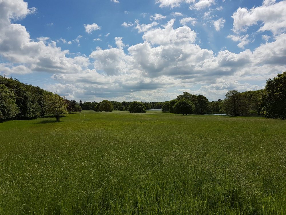
Cheshire possesses a distinctive landscape dominated by the Cheshire Plain, an expansive area of low-lying, gently rolling agricultural land characterised by pastoral farming, complex hedgerow networks and hundreds of field ponds. The underlying geology and glacial history have given rise to significant ecological features, including mosses, meres and extensive river corridors.
The county is drained by three major river systems: the River Weaver, the River Dane and the River Gowy. These watercourses, alongside their tributaries, act as essential ecological networks connecting isolated pockets of woodland, pasture and urban fringe. Along the central part of the county, the Mid Cheshire Sandstone Ridge rises above the plain, supporting remnant heathland, acid grassland and broadleaved woodland that differ markedly from the neutral clay soils of the surrounding lowlands.
Wetlands across Cheshire carry exceptional ecological sensitivity. Parts of the county form components of the internationally designated Midland Meres and Mosses Ramsar sites, protecting fragile basin mires, quaking bogs and open water habitats. Designated water bodies such as Tatton Mere Site of Special Scientific Interest (SSSI) illustrate that parkland landscapes and urban-fringe open water often support habitats of national importance.
In a BNG report, these regional features directly affect strategic significance scoring within the metric. Under the statutory metric rules, habitats that sit within areas identified in local nature recovery strategies or local planning policy receive an uplift in unit value. The emerging Cheshire and Warrington Local Nature Recovery Strategy (LNRS) establishes clear priorities for wetland restoration, hedgerow reinforcement, river corridor enhancement and woodland buffering. Our reports assess proposed habitats against these strategic objectives to ensure that metric scoring is robust, justified and locally aligned.
Addressing development pressures in Cheshire towns
Urban expansion and economic growth across Cheshire place significant pressure on traditional agricultural landscapes and linear habitats. Major housing developments around Crewe, Macclesfield, Northwich, Winsford and Chester frequently interface with long-established field patterns, ancient hedgerows and historic farm ponds.
In logistics hubs and employment zones, particularly along the M6, M56 and strategic rail corridors near Crewe, developments typically involve large building footprints, extensive hardstanding and intensive surface water attenuation schemes. These layouts leave limited residual space for meaningful on-site habitat creation. In these circumstances, the BNG report must be clear and realistic about what can actually be delivered on site. Attempting to claim high-condition woodland or diverse meadow creation on narrow verges or steep drainage embankments is routinely challenged by council ecologists.
Farm ponds represent a critical ecological asset across Cheshire. Many of these ponds form interconnected metapopulations supporting protected amphibians, including great crested newts. In a BNG report, ponds cannot be viewed merely as individual water bodies or simple metric units; their spatial relationship to surrounding terrestrial habitat is fundamental. While great crested newt licensing and district level licensing operate under separate legal mechanisms, BNG calculations must accurately record pond condition, water quality and marginal vegetation. Retaining mature ponds with substantial vegetated buffers almost always yields a superior metric outcome compared to removing them and attempting to construct artificial replacements.
Irreplaceable habitats, such as ancient woodland, veteran trees and blanket bog, are subject to separate statutory rules within the BNG framework. The statutory 10% requirement cannot be satisfied through the loss or degradation of irreplaceable habitats. If a site near the sandstone ridge or the Pennine fringe contains these features, the report must demonstrate complete avoidance or adhere to stringent national policy guidance governing wholly exceptional circumstances.
Delivering off-site units and statutory credits in Cheshire
Where the physical constraints of a Cheshire site prevent the full 10% gain from being achieved within the red-line boundary, the BNG report must map out a viable route for off-site delivery. The metric enforces the mitigation hierarchy: applicants must prioritise retaining existing habitats on site, then look to enhance on-site features, before considering off-site options.
When off-site units are required, they can be delivered on other land owned by the applicant or purchased from an established habitat bank. Under the statutory metric, off-site enhancements are subject to a spatial risk multiplier. This multiplier penalises units delivered outside the local planning authority boundary or outside the relevant National Character Area (NCA). Therefore, finding a local habitat bank within Cheshire East, Cheshire West and Chester, or Warrington is far more cost-effective and ecologically sound than seeking units further afield.
Off-site gain sites must be legally registered on the national biodiversity gain sites register and secured through a conservation covenant or section 106 planning obligation for at least 30 years. Our BNG reports detail the exact unit shortfall, calculate the spatial multiplier implications, and help developers identify legitimate local habitat banks to bridge the gap.
As a strict mechanism of last resort, developers who can demonstrate that neither on-site delivery nor private off-site units are achievable may purchase statutory biodiversity credits from central government. Natural England sells these credits at intentionally disincentivised prices, and the funds are reinvested in strategic habitat projects across England. A BNG report must prove that all reasonable local alternatives have been exhausted before an authority will accept reliance on statutory credits.
Preparing the 30-year habitat management and monitoring plan
Achieving approval for a BNG report and subsequent biodiversity gain plan requires proof of deliverability. Council ecologists will not accept speculative habitat proposals without clear evidence of how they will be maintained, funded and monitored for three decades.
A complete BNG report outlines the principles of the required Habitat Management and Monitoring Plan (HMMP). This section of the document translates the post-development metric targets into practical land management prescriptions. For example, if low-distinctiveness modified grassland is to be enhanced into medium-distinctiveness other neutral grassland, the report specifies the seed mix, ground preparation, cutting regimes, weed control methods and soil nutrient thresholds necessary to reach the target condition.
The monitoring framework outlines when ecological audits must take place throughout the 30-year term, typically in years 1, 3, 5, 10, 20 and 30. Monitoring reports must be submitted to the local planning authority to confirm that habitats are developing along the expected trajectory. If a habitat fails to reach its projected condition, remedial measures must be enacted. Demonstrating this operational forethought within the planning submission instils confidence in planning officers and prevents protracted negotiations.
Commissioning your Cheshire biodiversity net gain report
Timing is critical when commissioning a BNG report in Cheshire. Habitat condition assessments are heavily dependent on botanical composition, making seasonal survey windows a vital consideration. While general UKHab mapping can be undertaken across much of the year, grasslands, wetlands and woodland ground flora are most reliably assessed between April and September. Initiating ecological surveys early in the project programme avoids seasonal bottlenecks and allows ecologists to influence masterplanning before road networks, drainage basins and plot layouts are frozen.
At Collington Winter Environmental, our approach combines chartered professional expertise with commercial awareness. We do not simply produce a spreadsheet; we work closely with your design team, civil engineers and landscape architects to find sensible design adjustments that reduce habitat loss, minimise off-site liabilities and ensure swift planning validation across Cheshire authorities. Whether your project is in Chester, Crewe, Macclesfield, Warrington or the Peak District fringe, call our team on 01204 939 608 to discuss your site requirements.
Frequently asked questions
+Which planning authorities in Cheshire require a BNG report?
Cheshire East Council, Cheshire West and Chester Council, and Warrington Borough Council all require BNG reports for applicable developments. In addition, the Peak District National Park Authority handles planning applications and enforces BNG requirements for proposals situated within the eastern boundary of Cheshire East that fall within the national park.
+What must be included in a Cheshire BNG report at the initial application stage?
At planning submission, the report must include a completed statutory biodiversity metric calculation, a baseline habitat map using UKHab classifications, condition assessment sheets, evidence of adherence to the mitigation hierarchy, and an account of how the mandatory 10% gain will be achieved either on-site or off-site.
+How does the Cheshire and Warrington Local Nature Recovery Strategy affect the metric calculation?
The strategy identifies key nature recovery corridors, priority habitats and strategic restoration areas. In the statutory metric, habitats that align with these local priorities can be assigned higher strategic significance, which increases their unit value and supports council validation.
+How are Cheshire farm ponds assessed in a biodiversity net gain report?
Field ponds are mapped as distinct waterbody features and evaluated using the statutory metric condition criteria, which examine water quality, marginal vegetation, drying frequency and shading. They are assessed independently from any great crested newt licensing considerations, though their ecological value as network features is paramount.
+What happens if a site in Crewe or Chester cannot deliver the 10% gain on site?
If on-site design cannot achieve the statutory 10% uplift, the report must demonstrate that on-site options have been exhausted. The developer must then secure off-site biodiversity units through land holding agreements or registered habitat banks within Cheshire or the relevant National Character Area. Statutory biodiversity credits remain an absolute last resort.
+Does a Cheshire BNG report replace the need for protected species surveys?
No. Biodiversity net gain is an area-based metric calculation of habitats and runs in parallel with protected species legislation. A BNG report does not replace surveys for bats, great crested newts, barn owls, badgers or water voles, nor does it override Habitats Regulations Assessments for sites near the Midland Meres and Mosses Ramsar.
+What are the survey season limitations for a Cheshire BNG report?
While preliminary site walkovers can occur year-round, detailed UKHab condition assessments for grasslands, wetlands, woodlands and hedgerows are optimal between April and September when plant species are flowering and identifiable. Surveys conducted outside this window may be subject to caution or challenge by council ecologists.
+Who is qualified to prepare and sign off a BNG report in Cheshire?
Cheshire local planning authorities expect BNG reports and metric calculations to be prepared by competent ecologists who possess demonstrable experience in UKHab survey methodology and the statutory biodiversity metric. Chartered ecologists, such as those registered with CIEEM or the Society for the Environment, provide the recognised professional benchmark.